
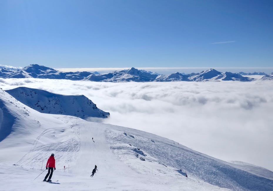
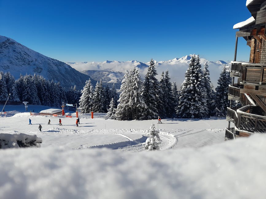
Several prominent ski resorts in the French Alps have ceased operations due to an 'exceptional' risk of avalanches. According to snowbrains.com, authorities are urging extreme caution, advising people to remain on groomed slopes until the snowpack stabilizes. The closures impact numerous popular destinations during peak season.
The culprit behind the hazardous conditions is Storm Nils, which has delivered intense snowfall and storm-force winds. This weather pattern has significantly destabilized the snowpack, leading to avalanche danger ratings of 5/5 (Very High) in several areas, including:
- Mont Blanc
- Aravis
- Chablais
- Haute-Tarentaise
- Oisans massifs
The avalanche danger is rated 4/5 (High) in other parts of the northern French Alps. Forecasters are describing the situation as "remarkable" and potentially "exceptional", especially near Mont Blanc and in Haute-Tarentaise, snowbrains.com reports.
Resort Closures and Disruptions
- Paradiski: This large ski area, linking La Plagne, Les Arcs, and Peisey-Vallandry, closed entirely on Thursday, February 12. The resort cited heavy snowfall and the risk of exceptional avalanches as the reason. Paradiski boasts 425 kilometers of slopes, with 70% of its terrain above 2,000 meters.
- Chamonix: All high-altitude areas in Chamonix are closed, including Brévent, Flégère, Balme/Le Tour/Vallorcine, Les Grands Montets, Vormaine, Chosalets, and Poya. Les Houches, Planards, and Savoy remain open. The northern sectors of Argentière and Vallorcine are also closed.
- Val d’Isère and Morzine: These resorts have warned of significant delays due to extensive avalanche control work. Operations will be severely limited across Savoie, Haute-Savoie, and Isère (Oisans).
Snowfall and Wind Conditions
According to snowbrains.com, recent snowfall has been substantial:
- 30 to 50 centimeters (12–20 inches) in 24 hours above 1,800 meters in the inner Alpine massifs.
- 30 to 50 centimeters (12–20 inches) in 24 hours above 2,000 meters in the western ranges.
Forecasts called for even more snow:
- 70–100 centimeters (28-40 inches) above 2,200 meters by Thursday morning.
- 50–80 centimeters (20-32 inches) at 1,800–2,000 meters.
- Up to 1 meter (40 inches) or more above 2,000 meters in Oisans.
- Potentially up to 1.5 meters (60 inches) in the Mont Blanc massif.
- An additional 30–50 centimeters (12-20 inches) above 1,800 meters on Thursday.
Storm-force winds have further exacerbated the situation, creating deep wind slabs, large drifts, and fragile cornices, according to snowbrains.com. Fracture depths of 1–2 meters (48-80 inches) are widespread.
Exceptional Avalanche Situation in Haute-Tarentaise
The Haute-Tarentaise region, encompassing Tignes and Val d’Isère, faces an "exceptional" avalanche situation. Very large avalanches are anticipated, potentially traveling long distances, mobilizing massive snow volumes, and reaching historical runout zones. Powder clouds could even extend into inhabited areas.

Avalanches could descend as low as 1,200–1,400 meters, impacting roads, infrastructure, and buildings. The accidental avalanche risk is rated MAXIMUM on all aspects and elevations, with remote triggering possible, snowbrains.com reports.
Regional Warnings and Precautions
Météo-France has issued orange alerts for avalanches, strong winds, flooding, and waves-submersion in approximately 30 departments. Hautes-Alpes, Isère, Savoie, and Haute-Savoie are under orange avalanche vigilance.
Authorities are urging strict adherence to safety instructions, avoidance of off-piste travel, and consultation of official bulletins (BERA) before venturing into the mountains. The snowpack is described as highly unstable, with rain and wet snow weakening lower layers below 1,500 meters.
Road closures are possible, lift operations may remain suspended, and additional resorts could announce closures.