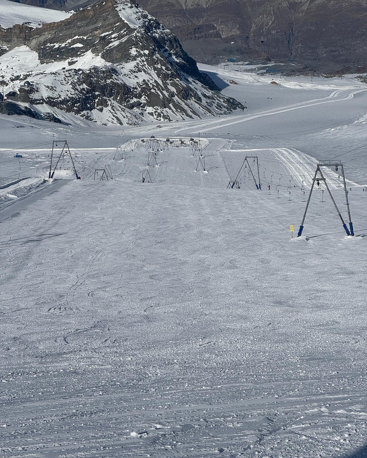
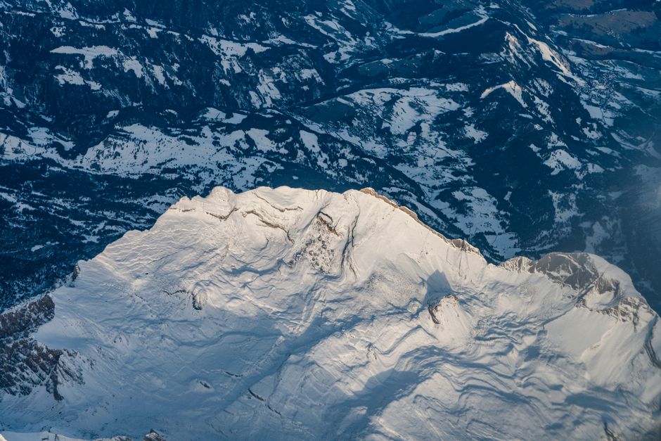
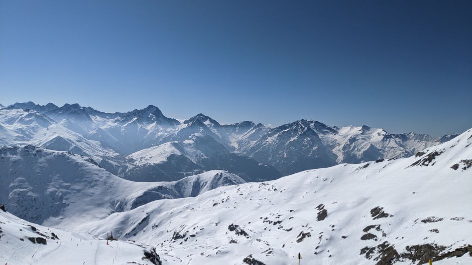
According to data from WeatherBell, as reported by SnowBrains, the European Alps are set for an active weather week. A dual-storm cycle is expected to deposit significant fresh snow across the region, with the most substantial accumulations concentrated on upper-mountain terrain in the northern and western sectors.
The Storm Cycle Timeline
The first phase of the storm is currently active, with precipitation expected to continue through Tuesday morning. Models indicate that snow levels for this initial wave will fluctuate between 900 and 2,100 meters. While high-altitude areas in France and Switzerland may see higher snow levels, the overall quality remains mixed, with Snow-to-Liquid Ratios (SLRs) ranging from 8:1 to 13:1, suggesting dense to moderate snow density.
Following a brief respite on Wednesday, a second, broader storm system is forecast to move into the region from Thursday through Saturday. This period is expected to be more consistent, though models currently diverge regarding the exact placement of the heaviest precipitation and the duration of Saturday's activity.

Regional Impacts and Snow Quality
The second wave features more stable snow levels, generally between 1,200 and 1,800 meters. Higher elevations in the French, Swiss, and central Alpine regions may experience SLRs of 10-14:1, providing lighter, more favorable snow. In contrast, lower Austrian terrain and parts of the Dolomites are expected to deal with denser snow, with ratios potentially falling between 4:1 and 9:1.
Looking ahead to the period of May 17 through May 21, the forecast becomes increasingly uncertain. Current modeling suggests a lack of organization in weather patterns, with lower confidence regarding further accumulation. At best, upper elevations may see light, spotty additions of a few centimeters, though localized totals of 5-15 cm are possible if specific wetter model solutions verify.

Projected Resort Totals (May 11–16)
- Wengen (Jungfrau): 38-56 cm
- Chamonix: 35-51 cm
- Verbier: 33-48 cm
- Val Thorens: 32-47 cm
- Sölden: 25-39 cm
- Cortina d’Ampezzo: 23-37 cm
- Zermatt: 10-14 cm
- Kitzbühel: 7-9 cm