
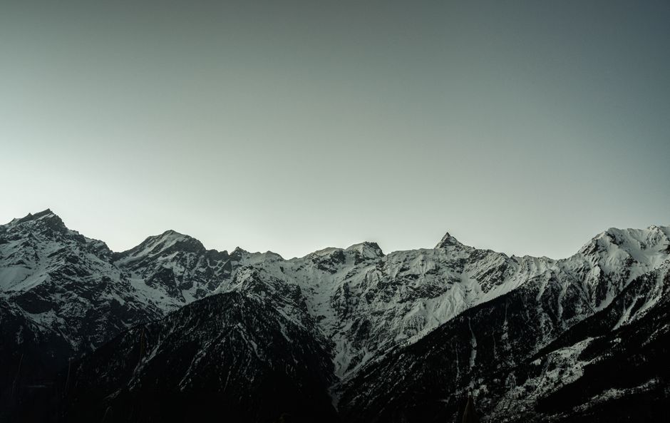
According to a recent report from SnowBrains, Colorado is bracing for an active weather cycle that promises a late-season powder injection for the state's high country. Meteorologists at WeatherBell indicate that an unsettled pattern will take hold starting Saturday evening, April 25, lasting through Tuesday, April 28.
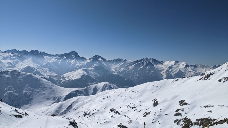
The storm is expected to favor higher elevations, with projected accumulations ranging between 5 and 15 inches. While the lower bases may struggle with marginal snow levels, the higher terrain is slated to see consistent, accumulating snowfall accompanied by cooler temperatures. As the system moves through, snow levels are anticipated to hover between 8,000 and 10,000 feet, potentially dropping further during periods of heavier precipitation.
Storm Dynamics and Expected Conditions
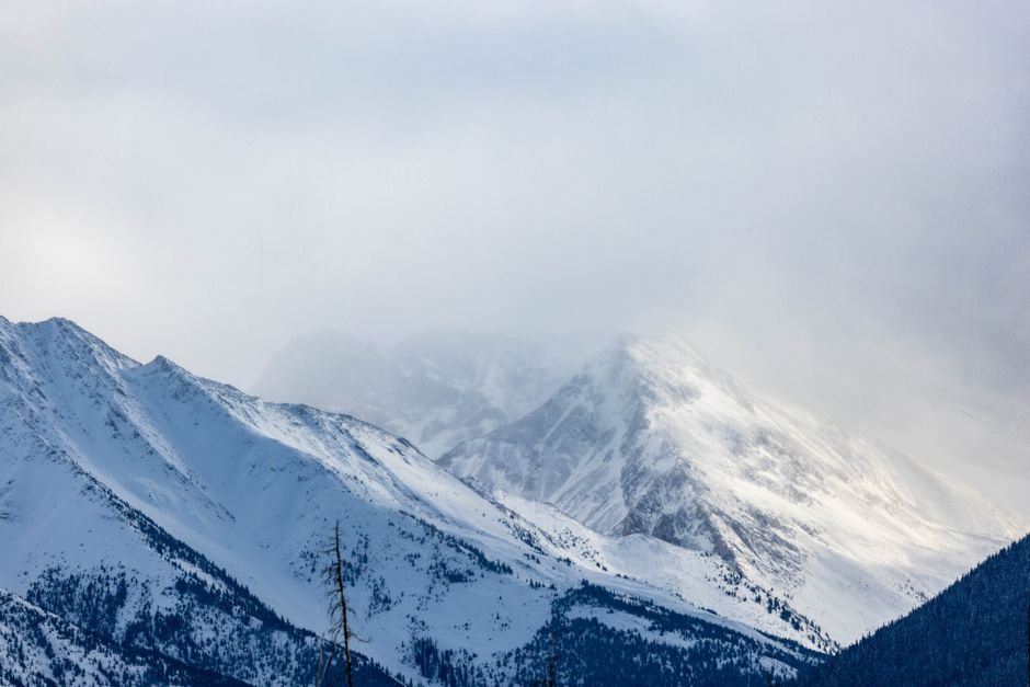
The transition from Friday’s dry, windy conditions to a more winter-like state will begin Saturday night. Models show a strong consensus regarding the timing of the storm, with the most organized precipitation expected to occur between Sunday and Monday. Travelers and skiers should prepare for gusty conditions, as exposed ridges are predicted to see wind speeds of 25-35 mph, with occasional stronger gusts that could make for challenging visibility and lift operations.
SnowBrains highlights that while confidence in the storm's timing is high, local intensity may vary. The southern San Juans and northern portions of the state are currently favored to receive the highest totals, while central resorts are expected to see lighter, though still beneficial, refreshes.

Resort-Specific Forecasts (April 25 – April 28)
- Wolf Creek: 11-16 inches
- Steamboat: 7-10 inches
- Crested Butte: 5-8 inches
- Telluride: 5-7 inches
- Arapahoe Basin: 5-7 inches
- Monarch: 4-6 inches
- Loveland: 4-6 inches
- Snowmass: 3-5 inches
- Winter Park: 3-5 inches
- Copper Mountain: 3-4 inches
- Breckenridge: 2-4 inches
- Vail: 2-3 inches
- Beaver Creek: 2-3 inches
Looking beyond Tuesday, the forecast remains somewhat fluid. Models suggest additional shower chances from late Wednesday through Friday, potentially adding another 3-9 inches to high-elevation zones. Beyond May 3, long-range models show a significant spread in outcomes, making further accumulations speculative at this stage. As many Colorado resorts have already ended their operations for the season, skiers looking to take advantage of this late-season snow should focus their efforts on currently open areas such as Arapahoe Basin, Loveland, and Copper Mountain.


